
PETRO topographic map
Interactive map
Click on the map to display elevation.
About this map
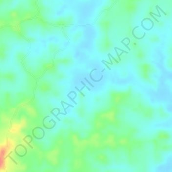
Name: PETRO topographic map, elevation, terrain.
Location: PETRO, Montelíbano, San Jorge, Córdoba, Kolumbien (8.00708 -75.78439 8.02708 -75.76439)
Average elevation: 90 m
Minimum elevation: 72 m
Maximum elevation: 140 m