
Rarís topographic map
Interactive map
Click on the map to display elevation.
About this map
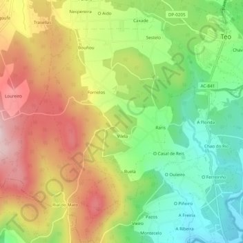
Name: Rarís topographic map, elevation, terrain.
Location: Rarís, Teo, Santiago, A Corogne, Galice, Espagne (42.76531 -8.58700 42.80069 -8.54815)
Average elevation: 180 m
Minimum elevation: 28 m
Maximum elevation: 356 m