
Rocher d'Arbois topographic map
Interactive map
Click on the map to display elevation.
About this map
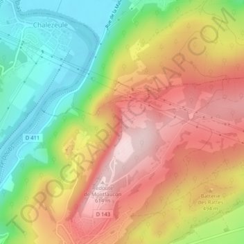
Name: Rocher d'Arbois topographic map, elevation, terrain.
Average elevation: 427 m
Minimum elevation: 238 m
Maximum elevation: 608 m
Other topographic maps
Click on a map to view its topography, its elevation and its terrain.
Les Fours à Chaux
France > Bourgogne-Franche-Comté > Doubs > Montfaucon
Les Fours à Chaux, Montfaucon, Besançon, Doubs, Bourgogne-Franche-Comté, France métropolitaine, 25660, France
Average elevation: 407 m