
Kaele topographic map
Interactive map
Click on the map to display elevation.
About this map
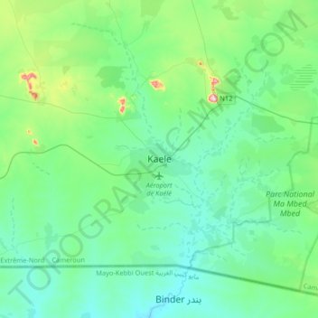
Name: Kaele topographic map, elevation, terrain.
Location: Kaele, Kaélé, Mayo-Kani, Far-North, Cameroon (9.94957 14.28606 10.26957 14.60606)
Average elevation: 393 m
Minimum elevation: 331 m
Maximum elevation: 681 m