
Camanongue topographic map
Interactive map
Click on the map to display elevation.
About this map
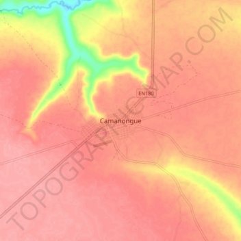
Name: Camanongue topographic map, elevation, terrain.
Location: Camanongue, Moxico Province, Angola (-11.47431 20.12750 -11.39431 20.20750)
Average elevation: 1,258 m
Minimum elevation: 1,191 m
Maximum elevation: 1,278 m