
Batoka Gorge topographic map
Interactive map
Click on the map to display elevation.
About this map
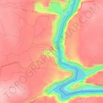
Name: Batoka Gorge topographic map, elevation, terrain.
Average elevation: 861 m
Minimum elevation: 720 m
Maximum elevation: 917 m
Other topographic maps
Click on a map to view its topography, its elevation and its terrain.
14 Rainbow Falls
Zimbabwe > Matabeleland North Province > Hwange > Victoria Falls
14 Rainbow Falls, Livingstone Way, Victoria Falls, Hwange, Matabeleland North Province, Zimbabwe
Average elevation: 873 m