
Gampel topographic map
Interactive map
Click on the map to display elevation.
About this map
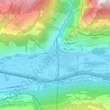
Name: Gampel topographic map, elevation, terrain.
Location: Gampel, Gampel-Bratsch, Leuk, Wallis, 3940, Schweiz (46.29535 7.72300 46.33535 7.76300)
Average elevation: 982 m
Minimum elevation: 623 m
Maximum elevation: 1,937 m