
Lochtum topographic map
Interactive map
Click on the map to display elevation.
About this map
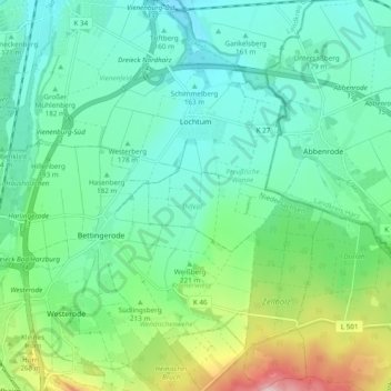
Name: Lochtum topographic map, elevation, terrain.
Location: Lochtum, Goslar, Landkreis Goslar, Lower Saxony, Germany (51.88965 10.57225 51.94903 10.62707)
Average elevation: 196 m
Minimum elevation: 135 m
Maximum elevation: 379 m