
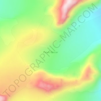
Purvis Glacier topographic map
Interactive map
Click on the map to display elevation.
About this map
Name: Purvis Glacier topographic map, elevation, terrain.
Average elevation: 360 m
Minimum elevation: 110 m
Maximum elevation: 682 m
Other topographic maps
Click on a map to view its topography, its elevation and its terrain.
Cape Disappointment
South Georgia and the South Sandwich Islands > South Georgia
Average elevation: 57 m
King Edward Point
South Georgia and the South Sandwich Islands > South Georgia
Average elevation: 109 m