
Margas topographic map
Interactive map
Click on the map to display elevation.
About this map
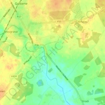
Name: Margas topographic map, elevation, terrain.
Location: Margas, Gulbenes novads, Vidzeme, LV-4401, Lettonie (57.13722 26.75361 57.17722 26.79361)
Average elevation: 121 m
Minimum elevation: 104 m
Maximum elevation: 136 m