
Shaura topographic map
Interactive map
Click on the map to display elevation.
About this map
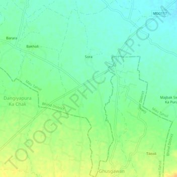
Name: Shaura topographic map, elevation, terrain.
Location: Shaura, Mau Tahsil, Bhind District, Madhya Pradesh, India (26.19150 78.59941 26.22964 78.61969)
Average elevation: 174 m
Minimum elevation: 162 m
Maximum elevation: 191 m