
Las Cuevas topographic map
Interactive map
Click on the map to display elevation.
About this map
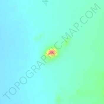
Name: Las Cuevas topographic map, elevation, terrain.
Location: Las Cuevas, Tlahualilo, Durango, Mexico (26.66251 -103.78778 26.66261 -103.78768)
Average elevation: 1,136 m
Minimum elevation: 1,122 m
Maximum elevation: 1,202 m