
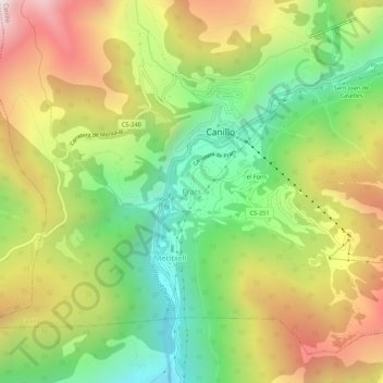
Prats topographic map
Interactive map
Click on the map to display elevation.
About this map
Name: Prats topographic map, elevation, terrain.
Location: Prats, Canillo, AD100, Andorra (42.54056 1.57366 42.58056 1.61366)
Average elevation: 1,890 m
Minimum elevation: 1,312 m
Maximum elevation: 2,612 m