
Carrollton topographic map
Interactive map
Click on the map to display elevation.
About this map
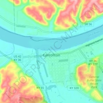
Name: Carrollton topographic map, elevation, terrain.
Location: Carrollton, Carroll County, Kentucky, United States (38.66552 -85.18786 38.69955 -85.12580)
Average elevation: 170 m
Minimum elevation: 129 m
Maximum elevation: 265 m