
Gisozi topographic map
Interactive map
Click on the map to display elevation.
About this map
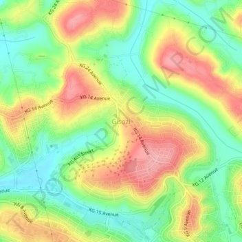
Name: Gisozi topographic map, elevation, terrain.
Location: Gisozi, Gasabo District, Kigali City, Rwanda (-1.93642 30.06797 -1.89642 30.10797)
Average elevation: 1,430 m
Minimum elevation: 1,374 m
Maximum elevation: 1,497 m
Other topographic maps
Click on a map to view its topography, its elevation and its terrain.