
Huntingdon topographic map
Interactive map
Click on the map to display elevation.
About this map
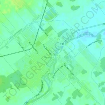
Name: Huntingdon topographic map, elevation, terrain.
Average elevation: 50 m
Minimum elevation: 44 m
Maximum elevation: 57 m
Other topographic maps
Click on a map to view its topography, its elevation and its terrain.
Havelock
Canada > Québec > Le Haut-Saint-Laurent > Havelock
Havelock, Le Haut-Saint-Laurent, Montérégie, Québec, J0S 2C0, Canada
Average elevation: 118 m