
Totana topographic map
Interactive map
Click on the map to display elevation.
About this map
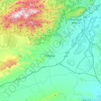
Name: Totana topographic map, elevation, terrain.
Location: Totana, Bajo Guadalentín, Múrcia, 30850, Espanha (37.66749 -1.67139 37.89645 -1.36933)
Average elevation: 425 m
Minimum elevation: 110 m
Maximum elevation: 1,572 m