
Lakonakbesik topographic map
Interactive map
Click on the map to display elevation.
About this map
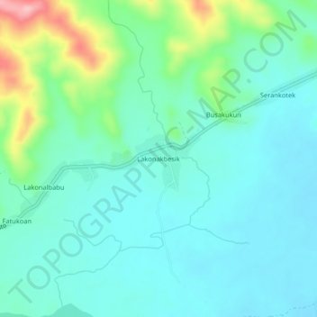
Name: Lakonakbesik topographic map, elevation, terrain.
Location: Lakonakbesik, Cova Lima, East Timor (-9.35472 125.20083 -9.31472 125.24083)
Average elevation: 42 m
Minimum elevation: 5 m
Maximum elevation: 172 m