
Küllük topographic map
Interactive map
Click on the map to display elevation.
About this map
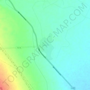
Name: Küllük topographic map, elevation, terrain.
Location: Küllük, Iğdır (merkez), Iğdır, Doğu Anadolu Bölgesi, Turquia (39.96572 43.89891 40.00572 43.93891)
Average elevation: 889 m
Minimum elevation: 872 m
Maximum elevation: 933 m