
Brandsen topographic map
Interactive map
Click on the map to display elevation.
About this map
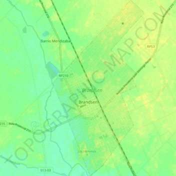
Name: Brandsen topographic map, elevation, terrain.
Location: Brandsen, Partido de Brandsen, Bs. As., 1980, Argentinien (-35.19991 -58.25603 -35.12401 -58.20766)
Average elevation: 18 m
Minimum elevation: 8 m
Maximum elevation: 25 m