Geolocate

Hodonín topographic map

Click on the map to display elevation.

About this map
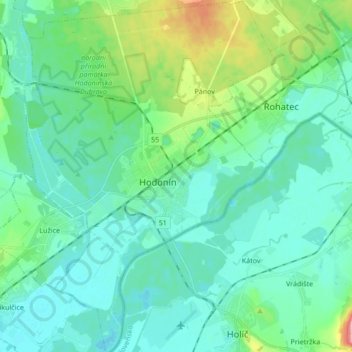
Name: Hodonín topographic map, elevation, terrain.

Location: Hodonín, okres Hodonín, South Moravian Region, Southeast, Czechia (48.80221 17.05857 48.91430 17.18072)

Average elevation: 178 m

Minimum elevation: 154 m

Maximum elevation: 246 m

Other topographic maps

Click on a map to view its topography, its elevation and its terrain.

Hnízdo

Czechia > South Moravian Region

Average elevation: 232 m

Vápenky

Czechia > South Moravian Region > Nová Lhota

Average elevation: 578 m

Gear up for your next adventure:

👟Men's Trail Running Shoes - Lightweight grip for fast movement over topographic contours
🛌Insulated Sleeping Mats - Crucial thermal protection when sleeping on cold, uneven ground
🧵Survival Paracord - Multi-purpose cordage for emergency repairs and shelters
🧊Personal Water Filters - Drink safely from mountain streams marked on your map
⛺Lightweight Solo Tents - Backpacking tents designed for wild camping in the UK highlands

As an Amazon Associate, this site earns from qualifying purchases at no extra cost to you.