
Cantavieja topographic map
Interactive map
Click on the map to display elevation.
About this map
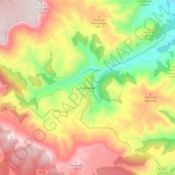
Name: Cantavieja topographic map, elevation, terrain.
Location: Cantavieja, Maestrazgo, Teruel, Aragón, Spanje (40.48659 -0.44508 40.56659 -0.36508)
Average elevation: 1,395 m
Minimum elevation: 974 m
Maximum elevation: 1,779 m