
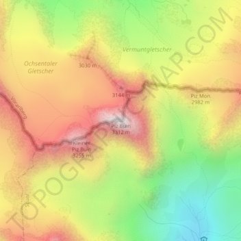
Piz Buin topographic map
Interactive map
Click on the map to display elevation.
About this map
Name: Piz Buin topographic map, elevation, terrain.
Average elevation: 2,779 m
Minimum elevation: 2,227 m
Maximum elevation: 3,298 m
Met zijn hoogte van 3312 meter is het na de Piz Linard (3410 meter) en de Fluchthorn (3399 meter) de hoogste bergtop van de Silvretta. De naam Piz Buin is van Reto-Romaanse afkomst en betekent zoiets als "rundertop".