
Mahara topographic map
Interactive map
Click on the map to display elevation.
About this map
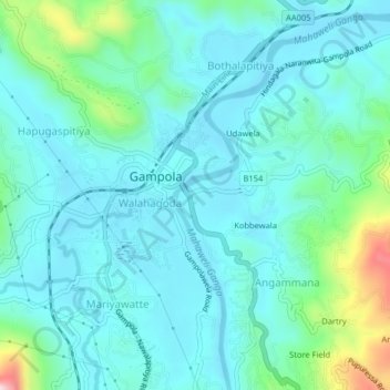
Name: Mahara topographic map, elevation, terrain.
Location: Mahara, Kandy District, Central Province, 20500, Sri Lanka (7.14171 80.55436 7.18171 80.59436)
Average elevation: 533 m
Minimum elevation: 470 m
Maximum elevation: 823 m