
Las Anod topographic map
Interactive map
Click on the map to display elevation.
About this map
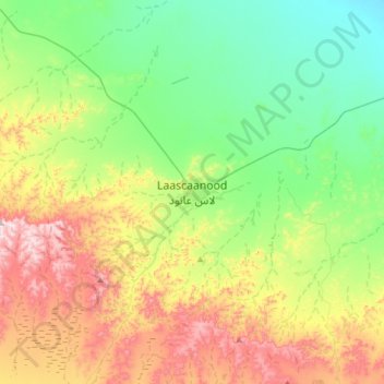
Name: Las Anod topographic map, elevation, terrain.
Location: Las Anod, Las Anod District, Sool, Somaliland, Somalia (8.43426 47.31519 8.51426 47.39519)
Average elevation: 702 m
Minimum elevation: 642 m
Maximum elevation: 824 m