
Kroonkop topographic map
Interactive map
Click on the map to display elevation.
About this map
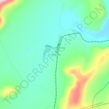
Name: Kroonkop topographic map, elevation, terrain.
Average elevation: 1,307 m
Minimum elevation: 1,225 m
Maximum elevation: 1,526 m
Other topographic maps
Click on a map to view its topography, its elevation and its terrain.
Havercroft
South Africa > Limpopo > Sekhukhune District Municipality > Greater Tubatse Local Municipality
Average elevation: 748 m