Muleshoe topographic map
Click on the map to display elevation.
Muleshoe
Muleshoe is situated on the Great Plains in an area where the plains reach their highest altitude at the foot of the Rocky Mountains known as the High Plains; more specifically, it is located on the South Plains in a region known as the Llano Estacado. The area topology is gently rolling plains with a large number of playa lakes on top of a large plateau. Soil types vary from dark brown playa-lake silt to iron-rich clay to sandy soil; topsoil and subsoil layers vary, as well. Most of the area contains a layer of caliche; in some areas, no topsoil or subsoil reveals the layer of caliche, while other places have up to 4 ft of topsoil or subsoil combined.
About this map
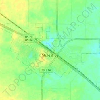
Name: Muleshoe topographic map, elevation, terrain.
Location: Muleshoe, Bailey County, Texas, United States (34.21475 -102.75853 34.24330 -102.69720)
Average elevation: 1,157 m
Minimum elevation: 1,147 m
Maximum elevation: 1,168 m
Other topographic maps
Click on a map to view its topography, its elevation and its terrain.