
Chebarkul topographic map
Interactive map
Click on the map to display elevation.
About this map
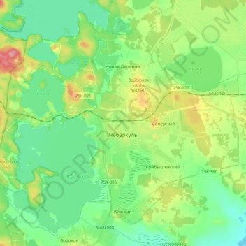
Name: Chebarkul topographic map, elevation, terrain.
Location: Chebarkul, Chelyabinsk Oblast, Ural Federal District, Russia (54.93020 60.26335 55.03598 60.46458)
Average elevation: 330 m
Minimum elevation: 299 m
Maximum elevation: 397 m