
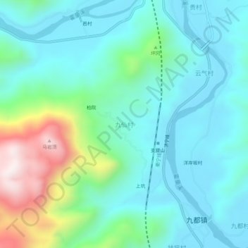
九仙村 topographic map
Interactive map
Click on the map to display elevation.
About this map
Name: 九仙村 topographic map, elevation, terrain.
Location: 九仙村, 蕉城区, 宁德市, 福建省, 中国 (26.80732 119.43365 26.84732 119.47365)
Average elevation: 186 m
Minimum elevation: 15 m
Maximum elevation: 779 m
Other topographic maps
Click on a map to view its topography, its elevation and its terrain.