Geolocate

الحوز topographic map

Interactive map

Click on the map to display elevation.

About this map

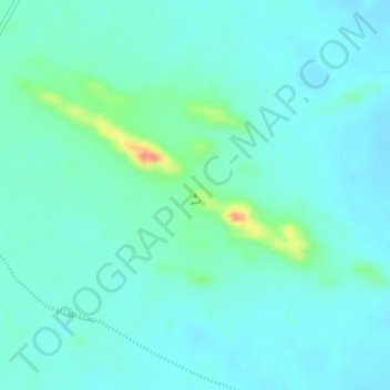
Name: الحوز topographic map, elevation, terrain.

Location: الحوز, محافظة الرين, Riyad, Arabie saoudite (23.16673 45.54867 23.16683 45.54877)

Average elevation: 731 m

Minimum elevation: 716 m

Maximum elevation: 788 m

Other topographic maps

Click on a map to view its topography, its elevation and its terrain.

بلدية النسيم

Arabie saoudite > Riyad

Average elevation: 624 m

Al Urayja

Arabie saoudite > Riyad

Average elevation: 692 m

بلدية السلي

Arabie saoudite > Riyad

Average elevation: 587 m

Hassi

Arabie saoudite > Riyad

Average elevation: 651 m

Al Khardj

Arabie saoudite > Riyad

Average elevation: 470 m

بلدية نمار

Arabie saoudite > Riyad

Average elevation: 725 m

Al Malazz

Arabie saoudite > Riyad

Average elevation: 598 m