
Glanbehy topographic map
Interactive map
Click on the map to display elevation.
About this map
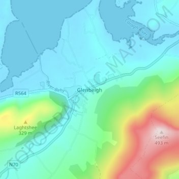
Name: Glanbehy topographic map, elevation, terrain.
Location: Glanbehy, Glenbeigh, County Kerry, Munster, Ireland (52.03605 -9.95942 52.07605 -9.91942)
Average elevation: 97 m
Minimum elevation: -3 m
Maximum elevation: 489 m