
San Fiz topographic map
Interactive map
Click on the map to display elevation.
About this map
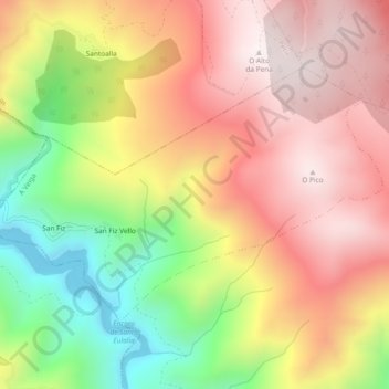
Name: San Fiz topographic map, elevation, terrain.
Location: San Fiz, A Veiga, Valdeorras, Orense, Galicia, España (42.34082 -7.06316 42.36345 -7.01655)
Average elevation: 998 m
Minimum elevation: 513 m
Maximum elevation: 1,377 m