Werdau topographic map
Interactive map
Click on the map to display elevation.
About this map
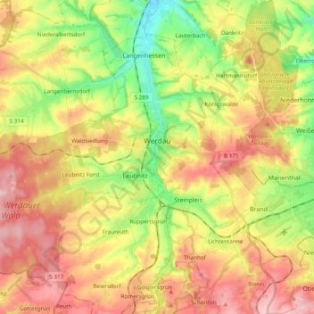
Name: Werdau topographic map, elevation, terrain.
Location: Werdau, Zwickau, Saxony, 08412, Germany (50.68245 12.25261 50.77686 12.44237)
Average elevation: 328 m
Minimum elevation: 248 m
Maximum elevation: 406 m
Other topographic maps
Click on a map to view its topography, its elevation and its terrain.
Hartenstein
Hartenstein, Langenweißbach, Zwickau, Saxony, 08134, Germany
Average elevation: 430 m
Wiesenburg
Germany > Saxony > Zwickau > Wildenfels
Wiesenburg, Wildenfels, Zwickau, Saxony, Germany
Average elevation: 362 m
Crimmitschau
Crimmitschau, Crimmitschau-Dennheritz, Zwickau, Saxony, 08451, Germany
Average elevation: 287 m
Hohenstein-Ernstthal
Hohenstein-Ernstthal, Zwickau, Saxony, 09337, Germany
Average elevation: 369 m