
Thank you for supporting this site ❤️
Make a donation
Make a donation
Gear up for your next adventure:
As an Amazon Associate, this site earns from qualifying purchases at no extra cost to you.
Karlapalem topographic map
Click on the map to display elevation.
Thank you for supporting this site ❤️
Make a donation
Make a donation
Gear up for your next adventure:
As an Amazon Associate, this site earns from qualifying purchases at no extra cost to you.
About this map
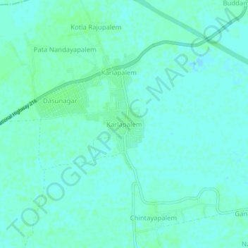
Name: Karlapalem topographic map, elevation, terrain.
Location: Karlapalem, Bapatla District, Andhra Pradesh, 522111, India (15.91651 80.52933 15.95651 80.56933)
Average elevation: 4 m
Minimum elevation: 1 m
Maximum elevation: 8 m
Thank you for supporting this site ❤️
Make a donation
Make a donation
Gear up for your next adventure:
As an Amazon Associate, this site earns from qualifying purchases at no extra cost to you.