Geolocate

Natewa Village topographic map

Interactive map

Click on the map to display elevation.

About this map

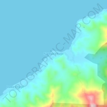
Name: Natewa Village topographic map, elevation, terrain.

Location: Natewa Village, Cakaudrove, Northern, Fiji (-16.61210 179.71433 -16.57210 179.75433)

Average elevation: 46 m

Minimum elevation: -1 m

Maximum elevation: 355 m

Other topographic maps

Click on a map to view its topography, its elevation and its terrain.

Savusavu

Fiji > Northern > Cakaudrove

Savusavu, Cakaudrove, Northern, Fiji

Average elevation: 28 m

Batiri Village

Fiji > Northern > Cakaudrove

Batiri Village, Cakaudrove, Northern, Fiji

Average elevation: 39 m