
Chelsea Beach topographic map
Interactive map
Click on the map to display elevation.
About this map
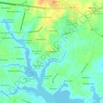
Name: Chelsea Beach topographic map, elevation, terrain.
Location: Chelsea Beach, Anne Arundel County, Maryland, 21122, USA (39.08205 -76.53996 39.12205 -76.49996)
Average elevation: 12 m
Minimum elevation: -3 m
Maximum elevation: 34 m