
Lower Lough Bray topographic map
Interactive map
Click on the map to display elevation.
About this map
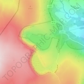
Name: Lower Lough Bray topographic map, elevation, terrain.
Average elevation: 455 m
Minimum elevation: 220 m
Maximum elevation: 645 m
Other topographic maps
Click on a map to view its topography, its elevation and its terrain.
Eagle's Crag
Eagle's Crag, Powerscourt ED, The Municipal District of Bray, County Wicklow, Leinster, Irland
Average elevation: 490 m
The Municipal District of Wicklow
The Municipal District of Wicklow, County Wicklow, Leinster, Irland
Average elevation: 263 m