
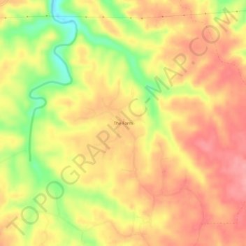
The Farm topographic map
Interactive map
Click on the map to display elevation.
About this map
Name: The Farm topographic map, elevation, terrain.
Location: The Farm, Lewis County, Tennessee, United States (35.46773 -87.35668 35.50773 -87.31668)
Average elevation: 288 m
Minimum elevation: 227 m
Maximum elevation: 322 m
Other topographic maps
Click on a map to view its topography, its elevation and its terrain.