
鲤鱼洲管理处 topographic map
Interactive map
Click on the map to display elevation.
About this map
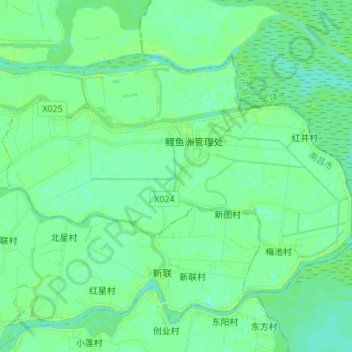
Name: 鲤鱼洲管理处 topographic map, elevation, terrain.
Location: 鲤鱼洲管理处, 南昌县, 南昌市, 江西省, 中国 (28.72528 116.18263 28.80821 116.31902)
Average elevation: 15 m
Minimum elevation: 10 m
Maximum elevation: 24 m
Other topographic maps
Click on a map to view its topography, its elevation and its terrain.