
Iwate topographic map
Interactive map
Click on the map to display elevation.
About this map
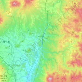
Name: Iwate topographic map, elevation, terrain.
Location: Iwate, Iwate County, Iwate Prefecture, Japan (39.83410 141.12262 40.08070 141.43423)
Average elevation: 452 m
Minimum elevation: 180 m
Maximum elevation: 1,097 m