
Mount Stanley topographic map
Interactive map
Click on the map to display elevation.
About this map
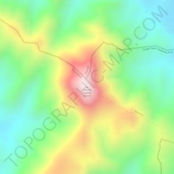
Name: Mount Stanley topographic map, elevation, terrain.
Location: Mount Stanley, Gladstone, Queensland, Australia (-24.19517 151.36379 -24.19507 151.36389)
Average elevation: 378 m
Minimum elevation: 143 m
Maximum elevation: 705 m
Other topographic maps
Click on a map to view its topography, its elevation and its terrain.
O'connell
Australia > Queensland > Gladstone
O'connell, Gladstone, Gladstone Regional, Queensland, Australia
Average elevation: 67 m