
Zwartsluis topographic map
Interactive map
Click on the map to display elevation.
About this map
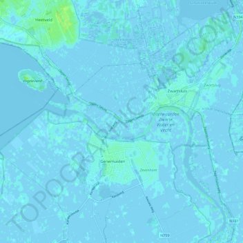
Name: Zwartsluis topographic map, elevation, terrain.
Location: Zwartsluis, Zwartewaterland, Overijssel, Niederlande (52.60008 6.01254 52.66794 6.12027)
Average elevation: 0 m
Minimum elevation: -5 m
Maximum elevation: 9 m
Other topographic maps
Click on a map to view its topography, its elevation and its terrain.
Mastenbroek
Niederlande > Overijssel > Zwartewaterland
Mastenbroek, Zwartewaterland, Overijssel, Niederlande
Average elevation: 0 m
Zwartewaterland
Niederlande > Overijssel > Zwartewaterland
Zwartewaterland, Overijssel, Niederlande
Average elevation: 0 m