
Hänigsen topographic map
Interactive map
Click on the map to display elevation.
About this map
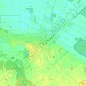
Name: Hänigsen topographic map, elevation, terrain.
Location: Hänigsen, Uetze, Region Hannover, Nedersaksen, Duitsland (52.46358 10.07702 52.50358 10.11702)
Average elevation: 48 m
Minimum elevation: 40 m
Maximum elevation: 59 m