Geolocate

Cold Bay topographic map

Interactive map

Click on the map to display elevation.

About this map

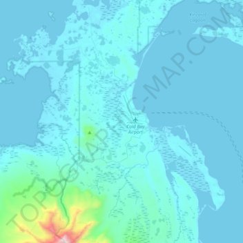
Name: Cold Bay topographic map, elevation, terrain.

Location: Cold Bay, Aleutians East, Alaska, 99571, United States (55.11901 -162.92878 55.28067 -162.56910)

Average elevation: 62 m

Minimum elevation: -2 m

Maximum elevation: 1,225 m

Other topographic maps

Click on a map to view its topography, its elevation and its terrain.

Rootok Island

United States > Alaska > Aleutians East

Rootok Island, Aleutians East, Alaska, United States

Average elevation: 60 m

Sand Point

United States > Alaska > Aleutians East > Sand Point

Sand Point, Aleutians East, Alaska, 99661, United States

Average elevation: 39 m