
Pickel topographic map
Interactive map
Click on the map to display elevation.
About this map
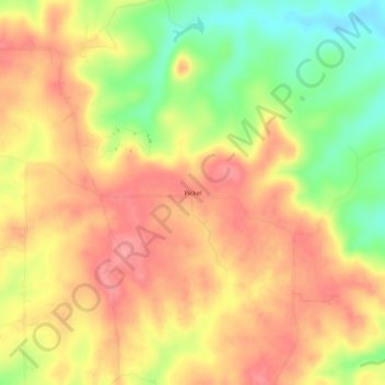
Name: Pickel topographic map, elevation, terrain.
Location: Pickel, Sainte Genevieve County, Missouri, USA (37.77644 -90.30679 37.81644 -90.26679)
Average elevation: 294 m
Minimum elevation: 236 m
Maximum elevation: 333 m