
Grünstadt topographic map
Interactive map
Click on the map to display elevation.
About this map
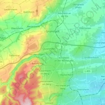
Name: Grünstadt topographic map, elevation, terrain.
Location: Grünstadt, Landkreis Bad Dürkheim, Rhineland-Palatinate, Germany (49.49122 8.03799 49.59615 8.20079)
Average elevation: 208 m
Minimum elevation: 99 m
Maximum elevation: 468 m
Other topographic maps
Click on a map to view its topography, its elevation and its terrain.