
Josa i Tuixén topographic map
Interactive map
Click on the map to display elevation.
About this map
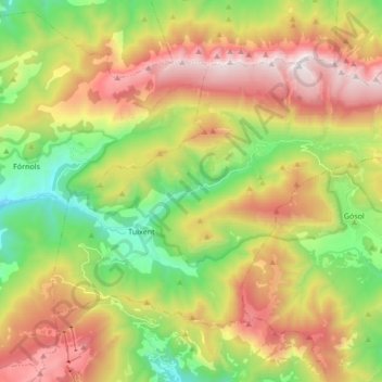
Name: Josa i Tuixén topographic map, elevation, terrain.
Location: Josa i Tuixén, Alt Urgell, Lerida, Catalonië, Spanje (42.20024 1.52525 42.28898 1.69506)
Average elevation: 1,714 m
Minimum elevation: 974 m
Maximum elevation: 2,645 m