
Apirede topographic map
Click on the map to display elevation.
About this map
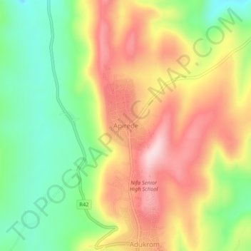
Name: Apirede topographic map, elevation, terrain.
Location: Apirede, Okere District, Eastern Region, Ghana (6.01537 -0.09963 6.05537 -0.05963)
Average elevation: 342 m
Minimum elevation: 180 m
Maximum elevation: 513 m