
Lee Township topographic map
Interactive map
Click on the map to display elevation.
About this map
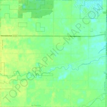
Name: Lee Township topographic map, elevation, terrain.
Location: Lee Township, Midland County, Michigan, United States (43.55309 -84.48868 43.64049 -84.36888)
Average elevation: 198 m
Minimum elevation: 190 m
Maximum elevation: 206 m
Other topographic maps
Click on a map to view its topography, its elevation and its terrain.