
Atwood topographic map
Interactive map
Click on the map to display elevation.
About this map
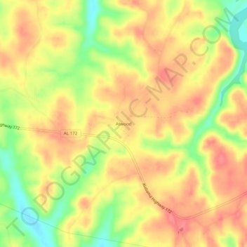
Name: Atwood topographic map, elevation, terrain.
Location: Atwood, Franklin County, Alabama, 35571, United States (34.34065 -88.01504 34.38065 -87.97504)
Average elevation: 217 m
Minimum elevation: 174 m
Maximum elevation: 244 m
Other topographic maps
Click on a map to view its topography, its elevation and its terrain.